Tool
Barrow Sea Ice Thickness and Sea Level Webcam and Radar
Description
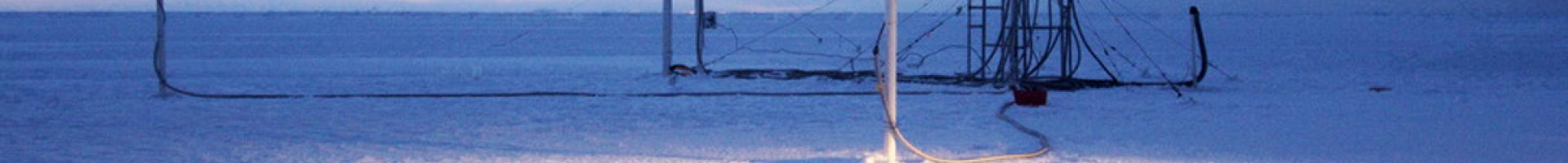
The Sea Ice Group at the University of Alaska Fairbanks' Geophysical Institute operates a coastal ice observatory in Barrow, Alaska. The site contains a coastal webcam and radar, a sea ice mass balance, sea level station, and forecasts for early summer break-up of landfast ice. Ice coring and ice thickness profiles are obtained near each site.
Features
- Webcam: The webcam provides a visual impression of sea conditions and also establishes a long-term record of key dates in the seasonal evolution of the sea-ice cover. This includes onset of fall ice formation, formation of a stable ice cover, onset of spring melt, appearance of melt ponds, ice break-up in early summer, and removal or advection of sea ice.
- Radar: Near-shore ice is monitored, and radar backscatter maps provide information on the movement, deformation, and stability of the coastal ice cover.
- Sea Ice Break-Up Outlook: Plots on sea ice break-up is updated daily based on regional weather forecasts. This is geared toward ice in the Chuckchi Sea north of Barrow.
- Mass Balance and Sea Level Site: This site measures snow depth, ice thickness, and the water-ice-snow-air temperature profile. There are also underwater acoustic altimeters that monitor local sea level.
Details
Hazards Addressed
Assets