Tool
ClimateData.us
Description
[ broken node embed ]
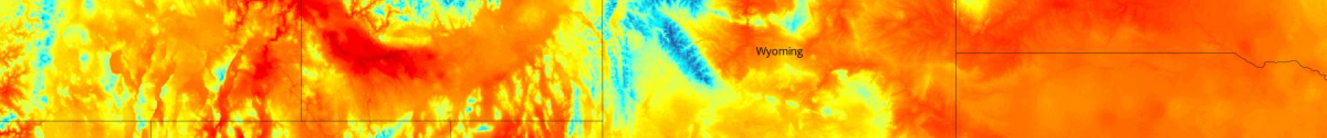
ClimateData.us provides a map-based visualization of projected local temperature and precipitation change across the contiguous United States. Based on NASA’s OpenNEX 800-meter downscaled data, this tool can give decision makers a sense of projected changes under two possible futures: one is a mitigation scenario (RCP 2.6) in which future emissions are restricted, and the second is a business-as-usual, high-emissions future (RCP 8.5).