Tool
LANDFIRE
Description
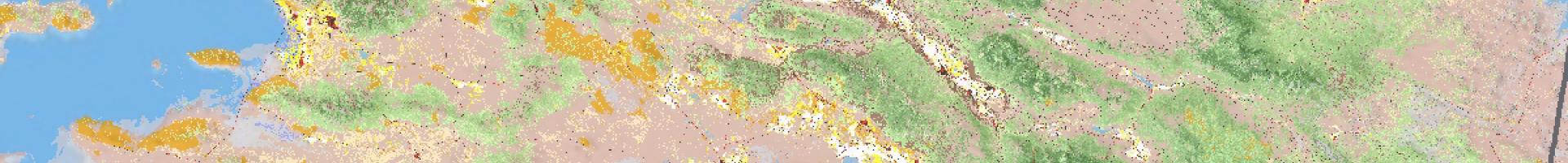
The Landscape Fire and Resource Management Planning Tools Project—LANDFIRE—is an innovative wildland fire, ecosystem, and fuel assessment-mapping project. The system is designed to generate comprehensive, landscape-scale maps of vegetation, fire, and fuel characteristics for the United States and some island areas using a consistent process. These data provide information for strategic planning for regional- and national-scale planning for wildfire and for natural resource management activities.
Users can view and/or download products that reflect how the landscape changes over time. Data are updated annually.
- Access the LANDFIRE viewer and data distribution system at https://www.landfire.gov/viewe
r/