Tool
Puerto Rico Coastal Vulnerability Viewer
Description
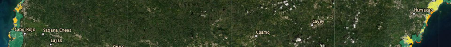
This online vulnerability viewer was developed for the Puerto Rico Climate Change Council and is intended to provide a preliminary assessment of coastal resources and infrastructure at risk due to climate change and sea level rise in the islands of Puerto Rico.
Datasets available in the viewer include:
- Coastal Features Inventory: Wetlands, cliffs, sand dunes, tombolos, and eoleanite shores (PR Coastal Zone Program, 2013; in revision)
- Storm Surge Scenarios: ADCIRC, SWAN flood by storm surge (still water) models for the current sea level (PR Coastal Zone Program, CariCOOS-UPR Mayagüez; 2014)
- Sea Level Rise: 0.5 and 1.0 meter sea level rise projections (NOAA Office for Coastal Management; 2015)
- Coastal Zone Land Boundary (DRNA, 2010)
- Natural Protected Areas (DRNA, 2014)
- 2010 Orthophotos
- FEMA Flood Maps and infrastructure data (provided by www.gis.pr.gov)