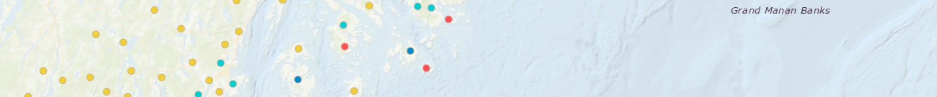
Vulnerability and Resilience of Fishing Communities: Indicator Map
NOAA Fisheries has developed a set of social indicators to document vulnerability and resilience within fishing communities. The indicators can help communities recognize vulnerabilities that may affect their ability to respond to negative effects of climate change.
Indicators cover Social Vulnerability, Gentrification Pressure, Sea Level Rise Vulnerability, and Fishing Engagement. The status of indicators for each topic has been compiled for more than 3,800 coastal communities in the United States, including Hawai'i and Alaska. The tool gives users a way to view an individual community's vulnerabilities, or to compare vulnerabilities in communities across all coastal regions.
- To view the status of each indicator for a community, enter the community's name in the search window, or click its location on the map: View the report in the tables below the map.
- To see how patterns of any indicator varies across the map, click its radio button in the tables. More information about each indicator is displayed when you click its radio button.
Measures of social vulnerability and resilience in the map highlight the importance of relationships among people and the environment. For the purpose of this model, the terms vulnerability and resilience are defined in the context of a community’s potential response to management actions or coastal hazards.